Quick answer
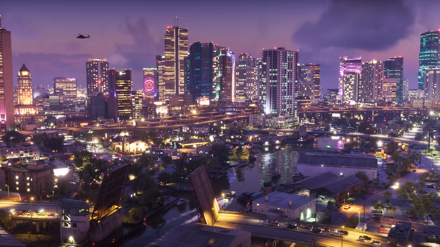
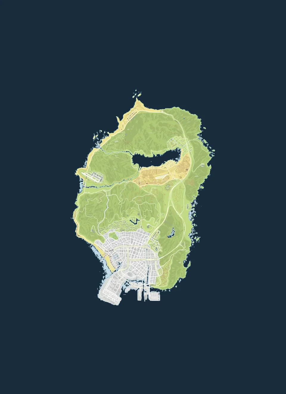
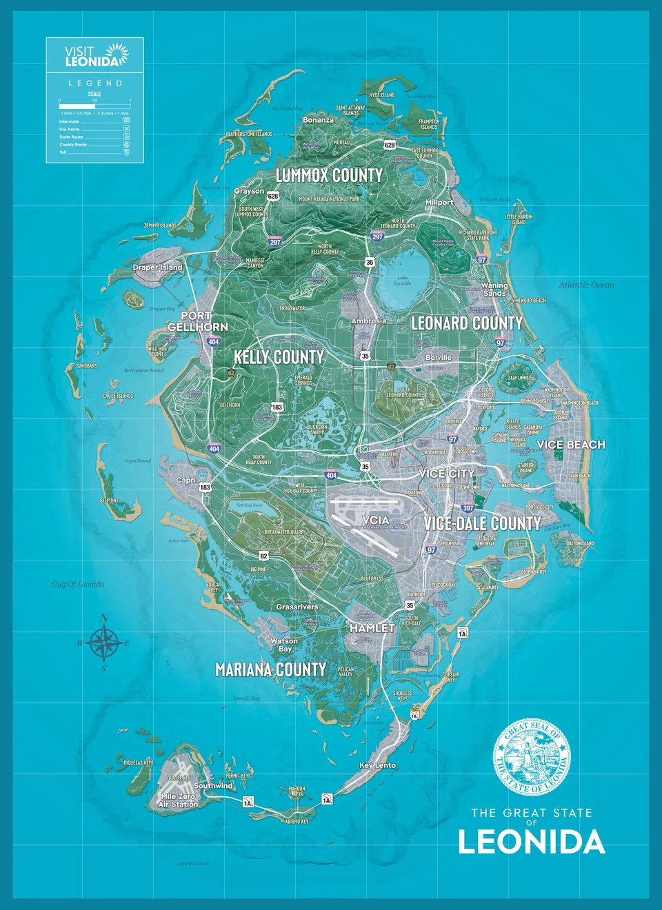
At the same approximate scale, Leonida extends farther than GTA V’s Los Santos and Blaine County. Use the slider to compare the coastlines, city layouts and the chain of keys stretching south.
GTA V vs GTA VI map comparison
How GTA 6 map size is estimated
PowerPyx estimates the in-game map at about 16 km north to south and 10.9 km east to west. Multiplying those distances gives a bounding rectangle of about 174 km² that includes land and water. To estimate land area, you would trace the coast and count the islands separately.
How the shapes and details differ
In GTA V, Los Santos is concentrated in the south, with the lake and rural areas to the north. In GTA VI, Vice City follows the east coast, Port Gellhorn sits in the west and the keys extend the map southward. Drag the divider all the way to either edge for each full outline. The two maps use different cartographic styles, which affects which details stand out.
How to compare a drive
For a route comparison, choose specific endpoints and record the distance shown on the in-game map. Use similar vehicles if you’re comparing travel time, and account for traffic, bridges and your chosen route. See the official Leonida map or try the drive from Key Lento to Southwind.