Quick answer
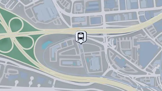
The table separates train, metro and Metromover stops, with eleven reference stations for Vice City, the airport and Capri.
Which stop to choose when travelling to Vice City Airport
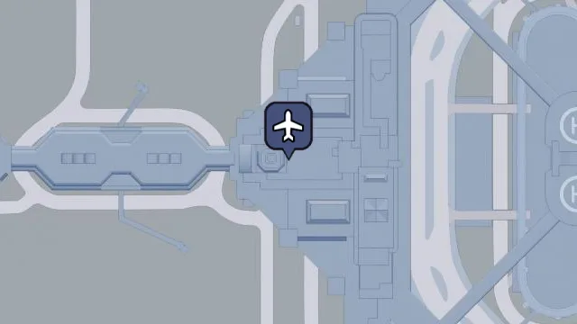
VCIA has train, metro and Metromover markers in Salton. Use the full name of the service you want. The three points are close enough for their markers to appear similar at city scale.
Map locations
| Location | Area or service | Enlargeable image |
|---|---|---|
| VCIA | Salton · Train Amloco Railway | 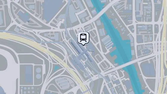 |
| VCIA | Salton · Metro Central Line | 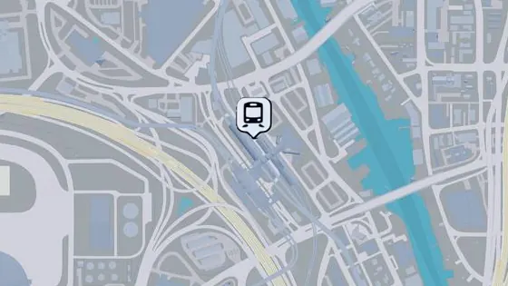 |
| VCIA | Salton · Mule Airport Line | 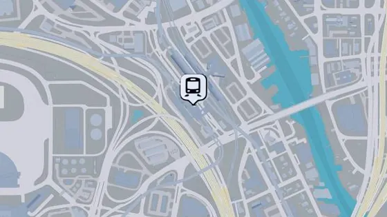 |
| Airport Village | Salton · Mule Airport Line | |
| Downtown North | Downtown · Central Line | 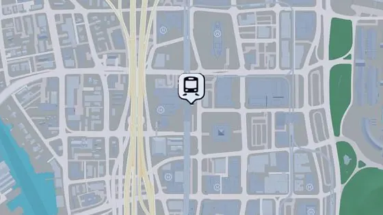 |
| Downtown South | Downtown · Mule City Line | 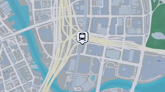 |
| Arts Center | Downtown · Mule City Line | 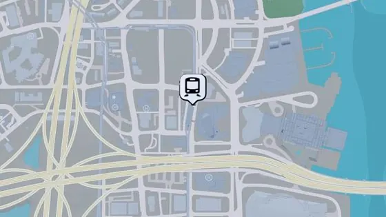 |
| Crosstown | Crosstown · Mule City Line | 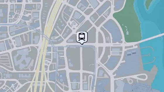 |
| Tequesta | Tequesta · Mule City Line | 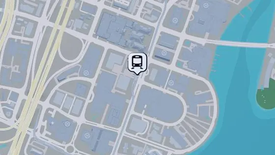 |
| Peacock Bay | Peacock Bay · Mule City Line | 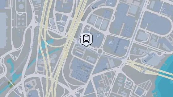 |
| Capri | Capri · Train | 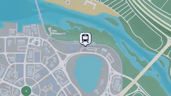 |
How to plan a route
The community map puts Downtown North on Central Line and Downtown South on Mule City Line. Check the actual station name and destinations offered in-game if in doubt. The eleven reference stations cover several corridors and help you get your bearings.
Related guides
Ten airports and airfields on the GTA 6 map · Where to take the ferry between Waxman Island and Dalton Island in GTA 6 · Official Leonida map
Use the map of cities and districts to locate towns and districts on the poster grid.