Quick answer
Open a map group and click a number to see the landmark. Use the table to open guides with more precise locations.
Leonida
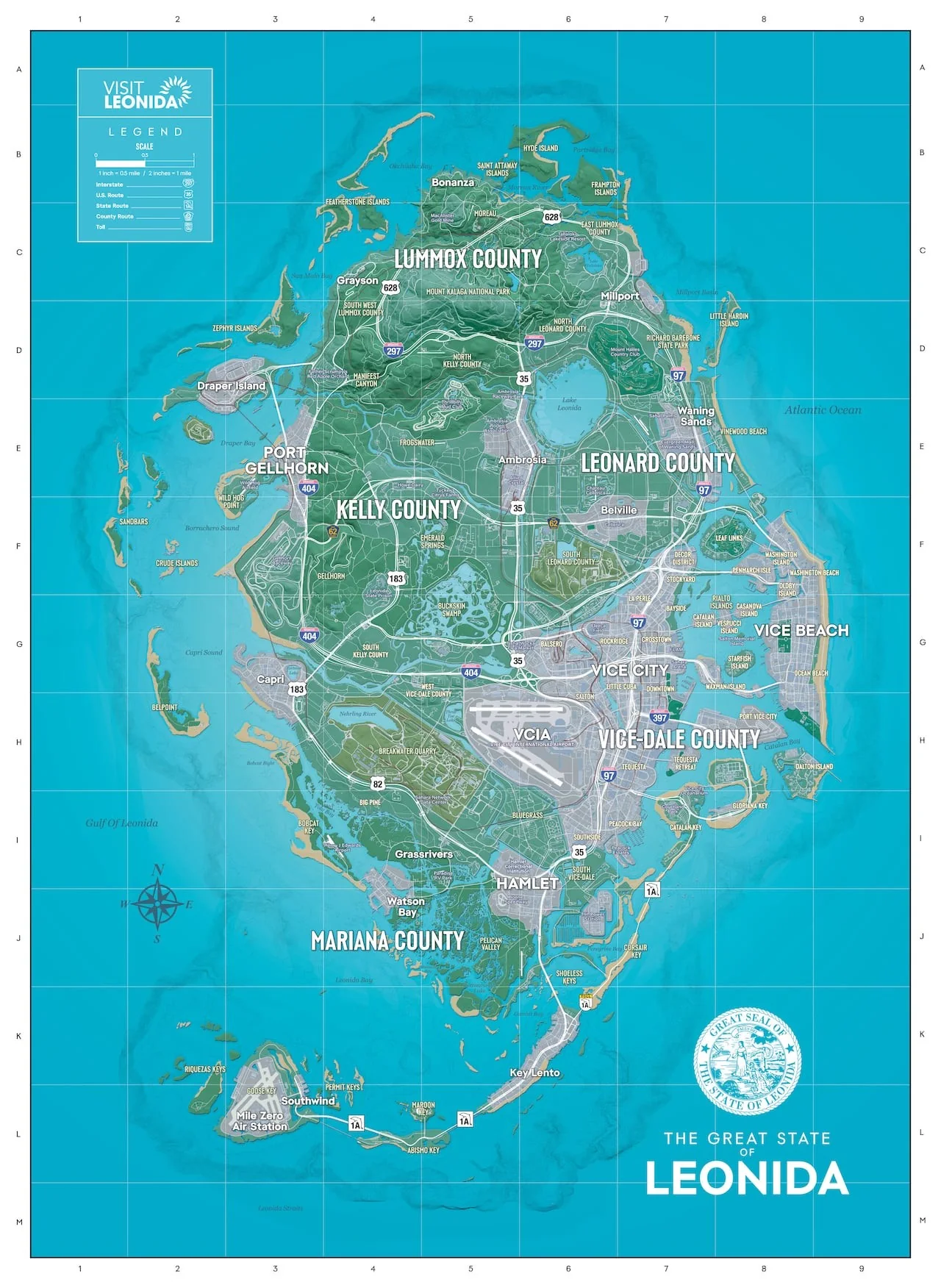
Map of Leonidas with markers
Expand Collectibles, Encounters or Transport, then select a marker. Open the full-size map to read the grid and place names.
Collectibles
- 1Belpoint · H2
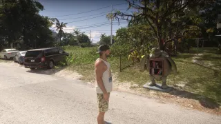
Fix your eyes on the southeast coast of the island, where the flamingo guide distinguishes the docks from the houses. - 2Key Lento · K6
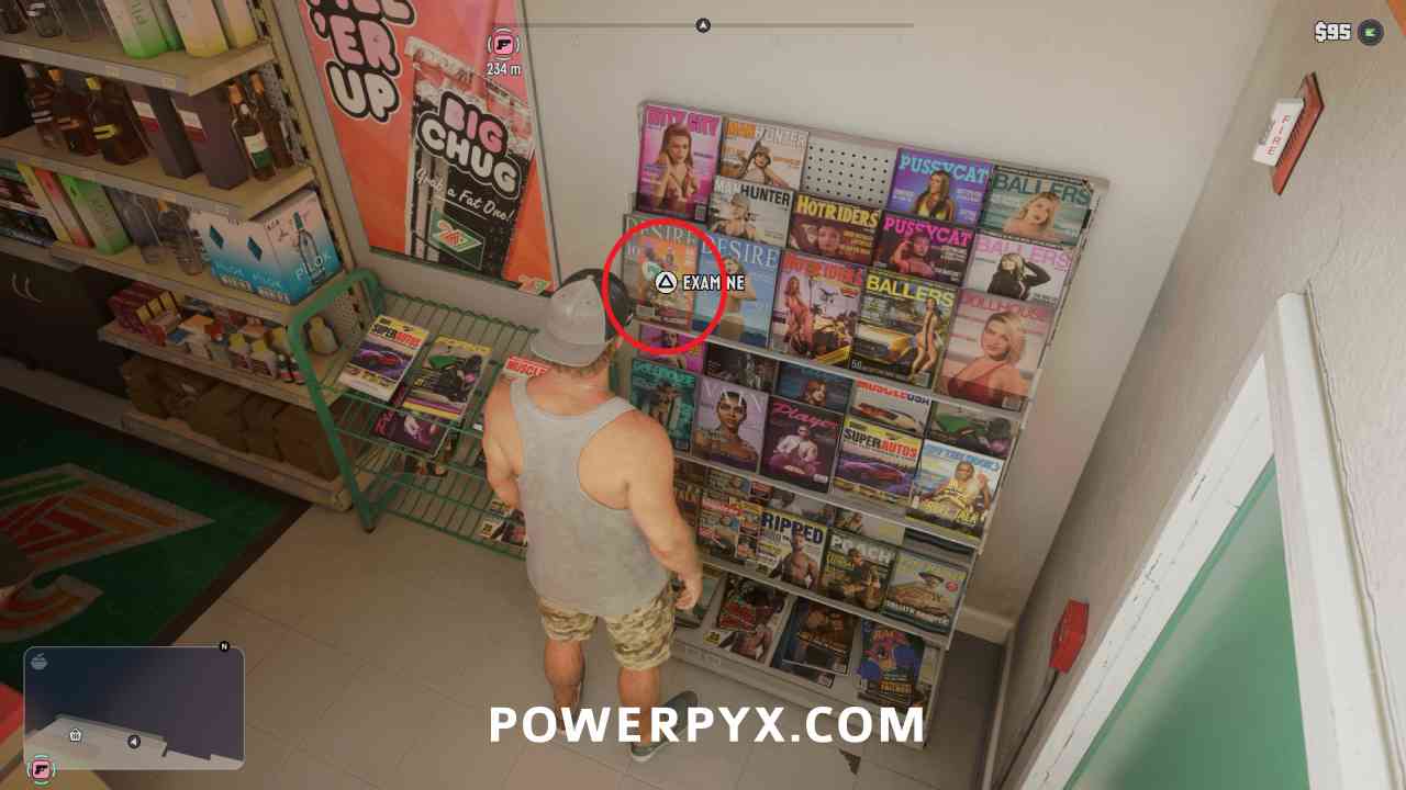
Locate the area of Jason's first shelter. The readings from chapter 1 are inside the house. - 3Grassrivers · I5
Use the wetland as a starting point for animal watching by the water.
Meetings
- 1Port Gellhorn · E3
Search for Starlet Motel to start tracking missing signs. - 2Downtown · G7
The Catalan Boulevard monument is to the east of Downtown, where the bunker trail begins. - 3Little Cuba · G7
The bunker route passes by a salmon-colored building on NW 4th Avenue.
Transportation
- 1VCIA · H6
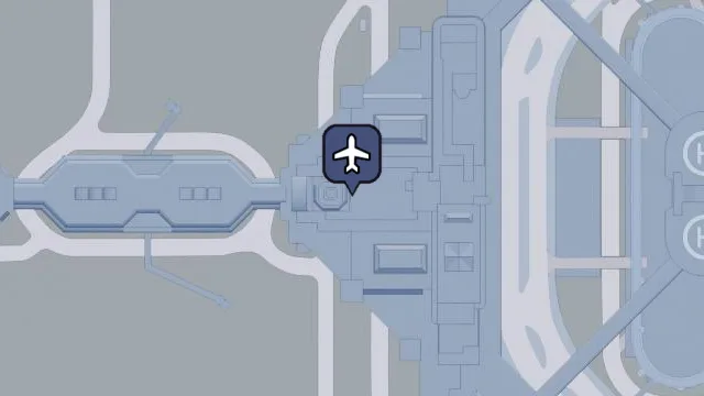
The main airport is recognized by the runways west of I-97 and has train and subway connections. - 2Southwind · L3
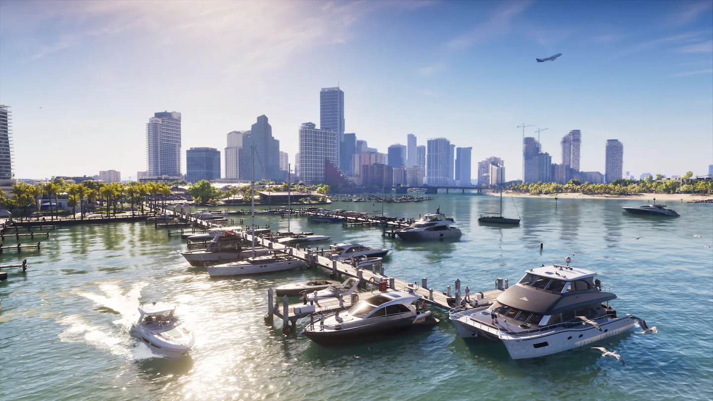
The town is east of the Mile Zero runways, at the southwestern tip of the cays. - 3Hamlet · I6
Located south of Vice City on Route 35, between the access to the cays and the interior.
What you can find in each group
The map uses the grid of the official poster. Reference H2, for example, crosses the row H in the margin with column 2 above. Marked areas are for orientation purposes. In each linked tab you will find more precise photos, streets or starting points.
| Theme | Reference | Guide with the steps |
|---|---|---|
| Collectibles | Belpoint · H2 | Cocaine flamingo locations with screenshots |
| Collectibles | Key Lento · K6 | Books and comics by Key Lento |
| Collectibles | Grassrivers · I5 | Where to study fauna |
| Meetings | Port Gellhorn · E3 | Route of the Missing |
| Meetings | Downtown y Little Cuba · G7 | Tracks of the presidential bunkers |
| Transportation | VCIA · H6 | Train and Metro Stations |
| Transportation | Southwind · L3 | Airports and airfields |
How to Plan a Collectable Route
- Choose an area and check your cell before you leave. If you’re looking for Belpoint flamingos, zoom in on the southeast coast of the island and open the guide table.
- When a route starts at a building, point the map to the street or a point visible from outside. in Port Gellhorn that point is the reception of Starlet Motel.
- Collect objectives in the same area before taking another road. At the cays you can collect readings from the shelter and then check the docks for wildlife.
How to orient yourself if there is still fog
Start with a main road or county name. The map of cities and districts shows how the regions connect. If an area is still hidden, check how to clear the map fog and keep the official printable map handy.